White River & Mt. Hood
0
0
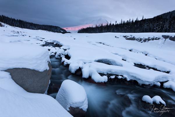
Not a terribly colorful sunrise on Hood Christmas Eve, but the lenticular, I thought, was pretty cool. I think (with the exception of all of last...
0
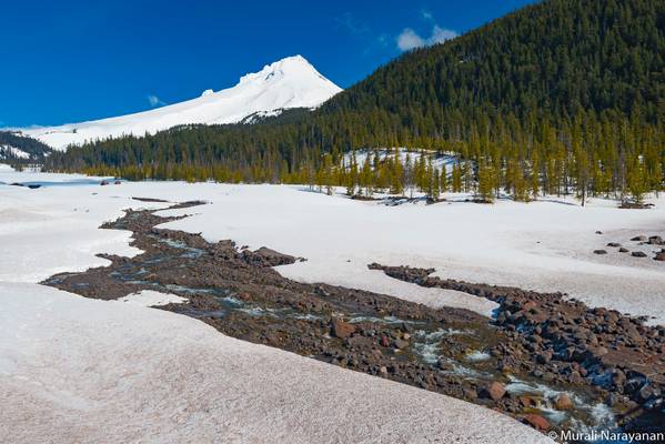
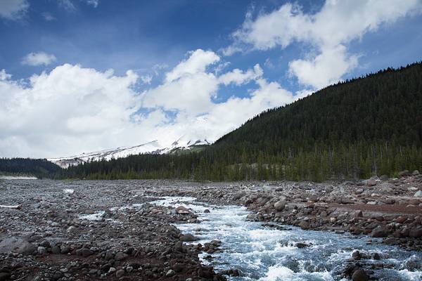
The White River lies east of the Cascade Range and south of the Columbia River Gorge. Originating on Mt. Hood, the river flows for approximately 53 miles to its confluence with the Deschutes River just above Sherar's Bridge. All but the 0.6-mile-long section at White River Falls is designated wild and scenic. The uppermost area hosts an active fumarole field named "Devil's Kitchen" at the White River Glacier and immediately below a mixture of andesite, dacite flows with pyroclastic and mudflow deposits, known as the "Old Maid" flows. These flows occurred about 260 years ago and buried a forest on the slopes of Mt. Hood. Recent downcutting by the White River and its tributaries has exposed portions of this "Ghost Forest" along with several of the Old Maid flows in a sequence of terraces along the valley edge upriver from the Highway 35 crossing. I am shooting this very near the parking lot on Hwy. 35. In fact I am standing under the bridge. I probably should have come out in April to have photographed more water in the river.