United States » Oregon »
Bridge over Metolius River, Oregon
Oregon
United States of America
Cascade Range
United States
Deschutes National Forest
Jefferson County
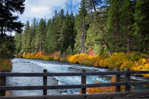
Fall color at Bridge over Metolius River, Oregon by Bonnie Moreland
0
October color along the river.
The Metolius River flows 28.6 miles (46.0 km) from Metolius Springs through the Deschutes National Forest, emptying into Lake Billy Chinook and ultimately the Deschutes River. The upper 11.5 miles (18.5 km) of the river are popular for catch-and-release fishing, whitewater rafting, picnicking, and camping. The lower 17 miles (27 km) are on the boundary of the Warm Springs Indian Reservation, and flow by "a primitive area where motorized vehicles are not allowed."
The Metolius River was officially designated a National Wild and Scenic River in 1988.